28/05 – 15/06/2023
Now we reached the Gaspé Peninsula in the province of Québec. Here, the campsite surprised us with such good internet coverage that we were finally able to finish our first report. With the good feeling of having heard from us again, we drove on towards Forillon National Park. The nature reserve covers part of the northern foothills of the Appalachian mountain range and offered us enough interesting hiking trails for one day. The highlight was an encounter with a bull moose. Obviously, our presence did not bother him at all and he remained lying comfortably. So we could watch him in peace and then slowly walk past.


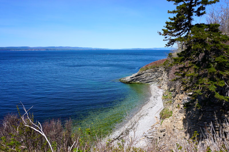



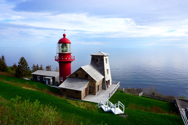
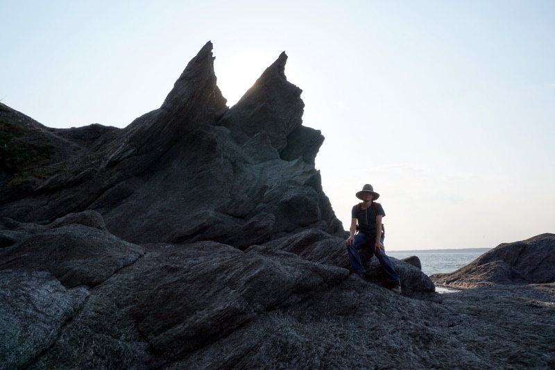
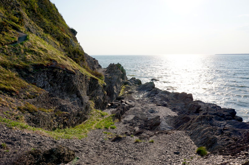
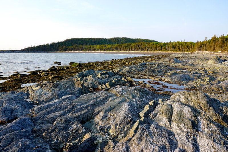
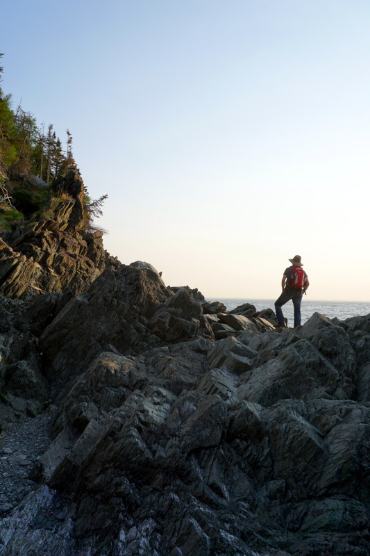
On the way further west, the north coast of Gaspésie had more to offer us. Apart from numerous lighthouses, it was mainly the Parc national du Bic. However, we postponed our start time for a coastal hike until the early evening. Not only because 32°C were forecast, but also because of the tides in the St. Lawrence River and the otherwise impassable path. The “climb” over the jagged and therefore sharp-edged rock was the perfect end to the day. But something extraordinary also happened in the afternoon at the campsite, because a local television station interviewed us about our journey in the province.






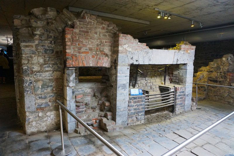
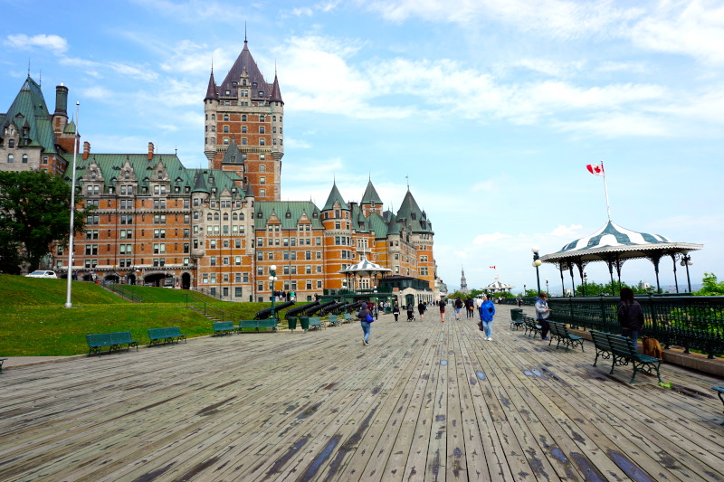
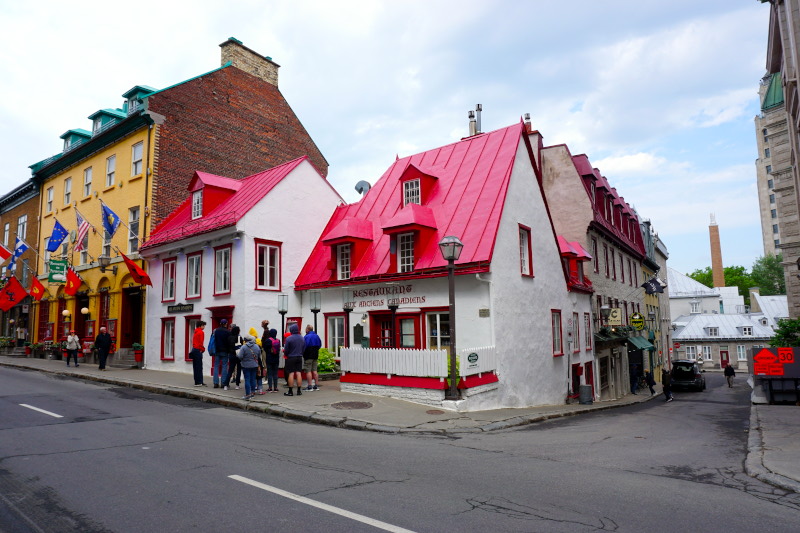
Next we looked at the historic centre of Québec City. From the lower town we walked to the upper town and then across the Parc des Champs-de-Bataille. Today’s park (formerly fields outside the city walls) was the site of the key battle between the British and French for supremacy in Canada in 1759. The victorious British also later built several Martello Towers here. These are circular defence towers, a typical British defensive structure of the 19th century.






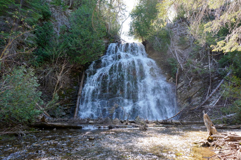
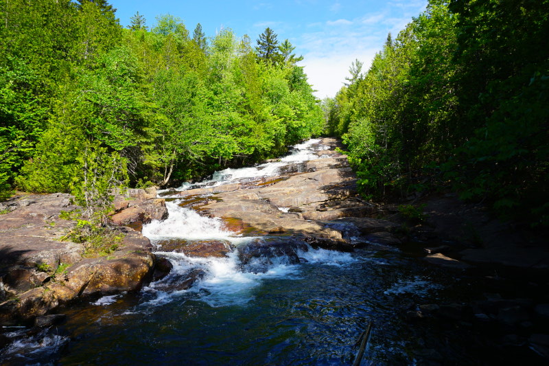
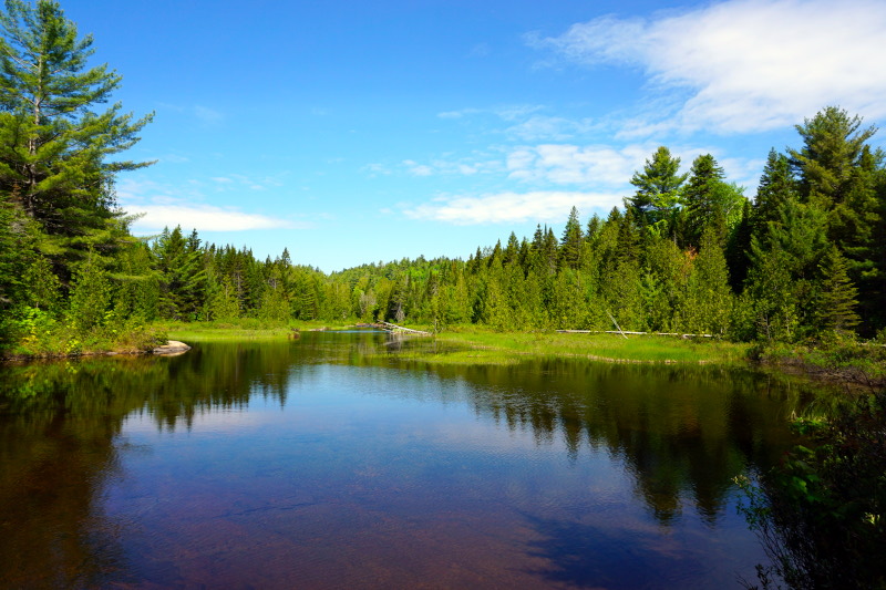
A 2-day stop in the Parc national de la Mauricie was now on the agenda. After a smaller round the day before, we took on a new challenge. We really wanted to see the Waber Falls, which can only be reached by boat and a subsequent hike. So we rented a canoe, paddled 4.6 km across two basins of Lake Wapizagonke and then walked another 6 km to the falls. Once there, we looked for a nice spot directly below the falls and recharged for the return trip.




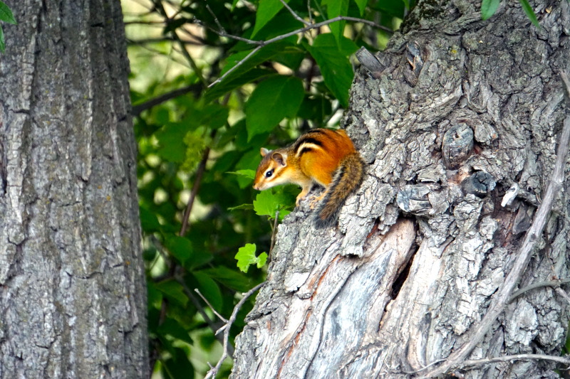
At the next overnight campsite, there was fortunately a chipmunk (chipmunk) burrow on our plot. So we could watch these small, quite shy rodents in the morning & evening quite relaxed from the caravan. 🙂 During the day we visited the surrounding fortifications from the time of the French-British and British-American disputes.



In the afternoon, we prepared a classic North American campfire dessert, the so-called s’mores. Due to the local ban on open fires, we had to improvise a bit. However, this did not harm the result and we enjoyed this delicious (and especially sweet) snack to the fullest.


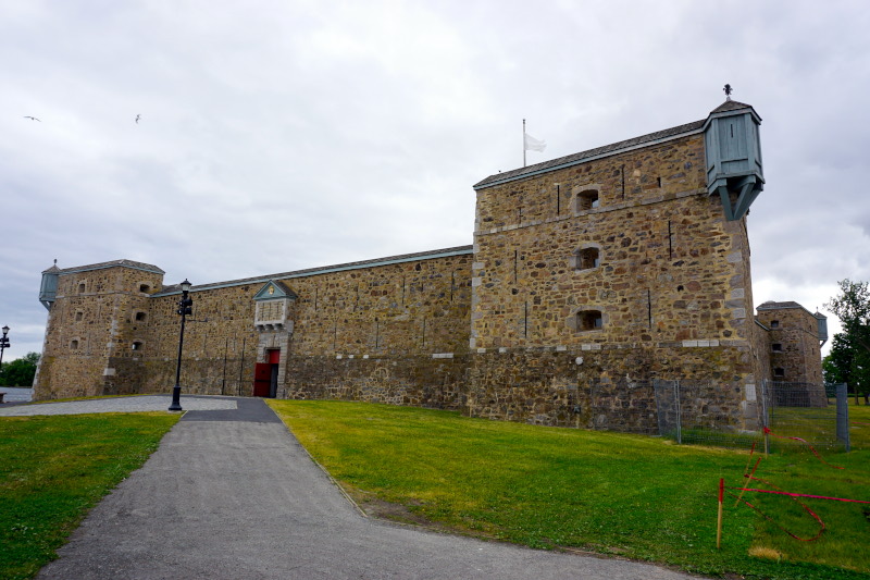
The last sight we saw in Québec was the Fort du Coteau-du-Lac. The British defence fort is located directly on the St. Lawrence River, the border river to the United States, and had a rather rarely seen octagonal blockhouse.


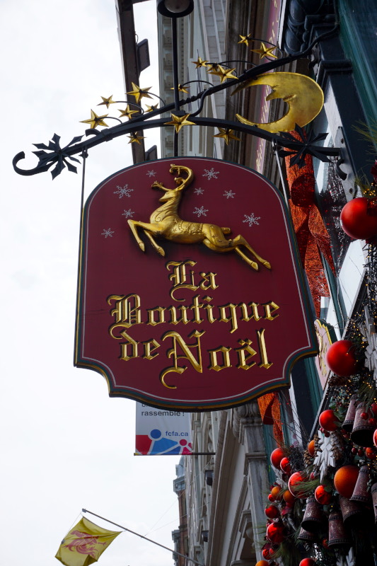
As you have probably noticed, the names used so far are mostly French. The reason for this is the peculiarity of the province of Québec. To this day, French is spoken almost exclusively and street signs and other signs are also in French. It’s a good thing that Sven has kept enough of his French from school to be able to “redirect” conversations into English in a friendly way.
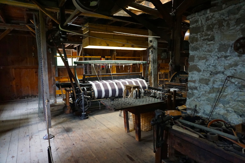
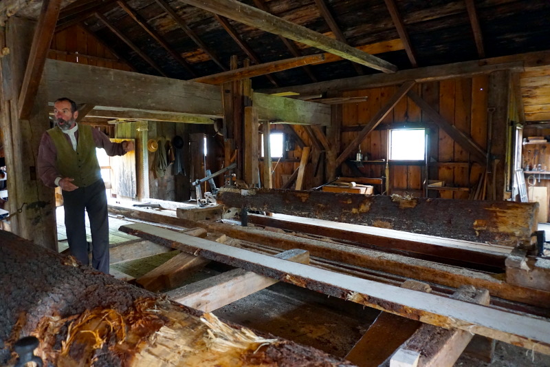
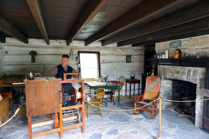
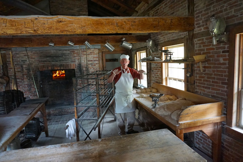
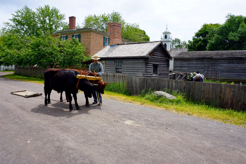
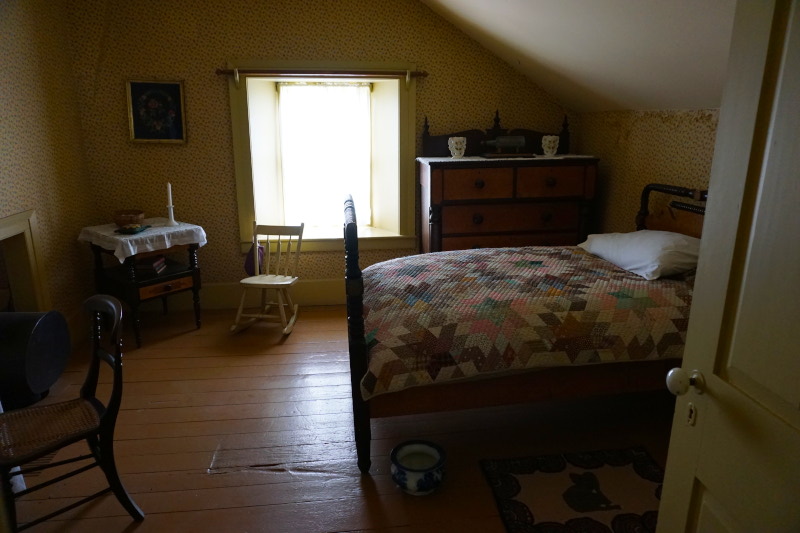
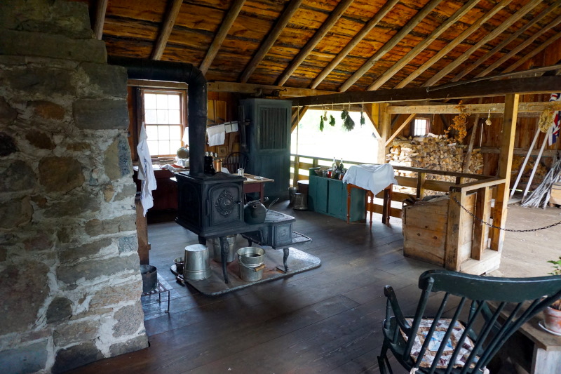
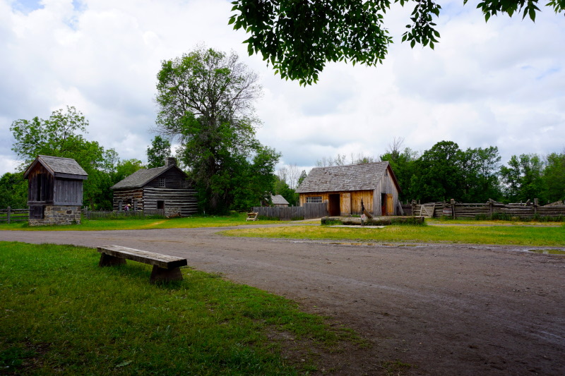
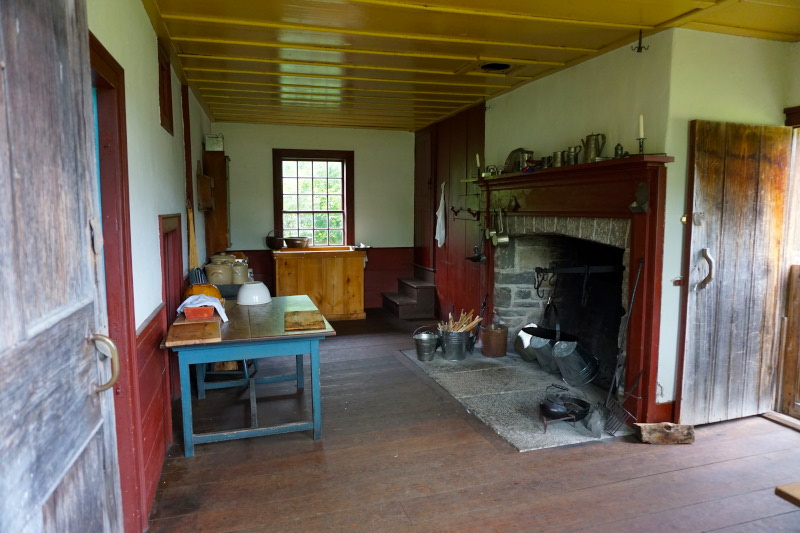
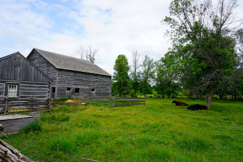
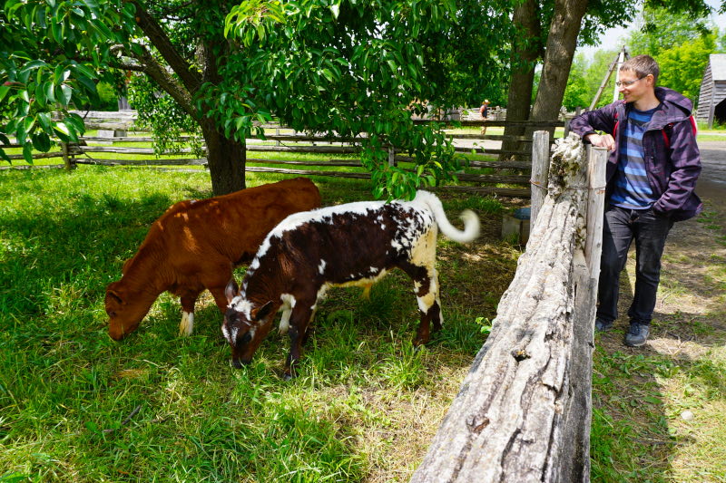
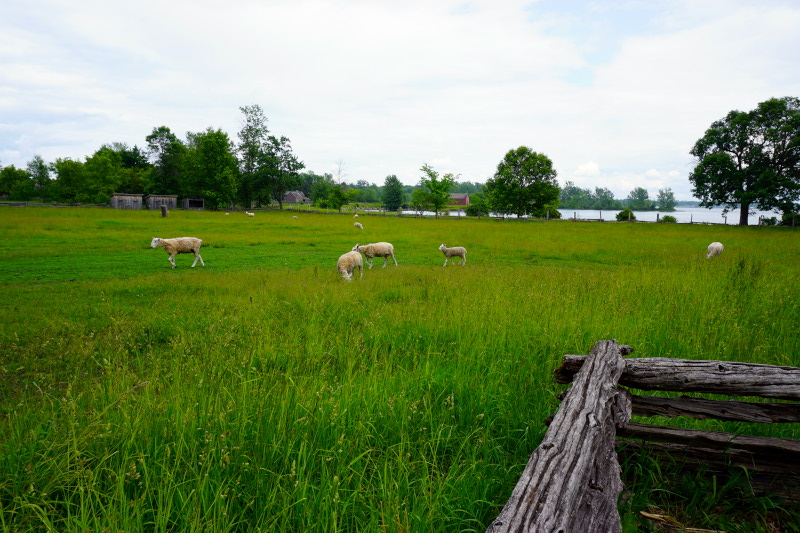
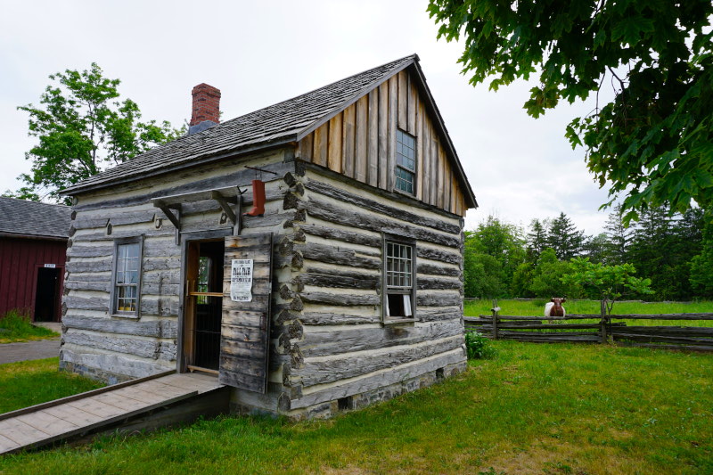
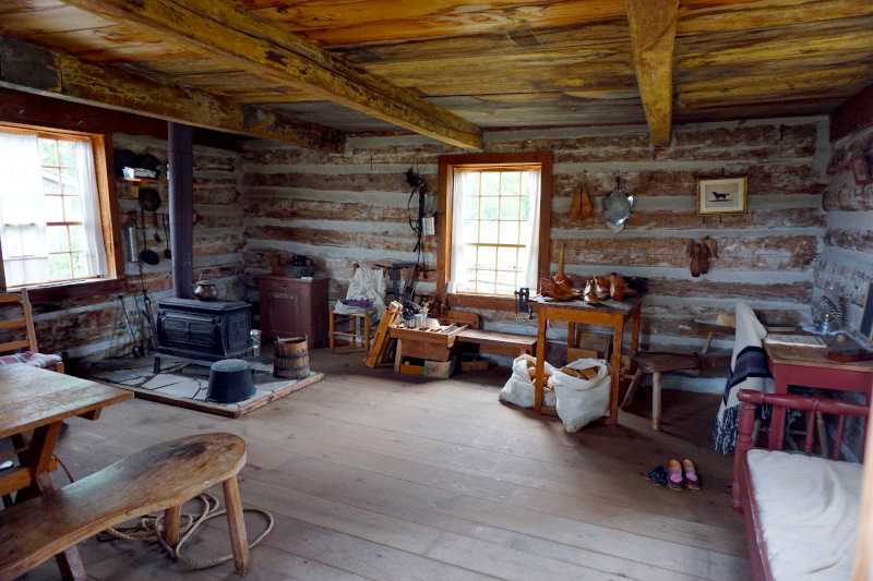
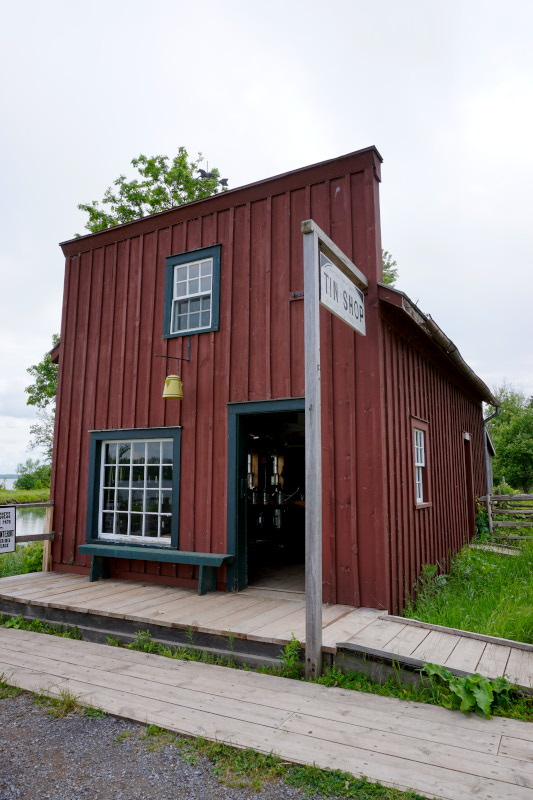
Arriving in Ontario, the largest province in Canada, we visited the museum village Upper Canada Village. Life in a typical village in 1866 is depicted here with great attention to detail and a large number of inhabitants. Original preserved machines & tools, fully functional water mills of various trades and authentically furnished houses let you immerse yourself completely in this time from the first moment.















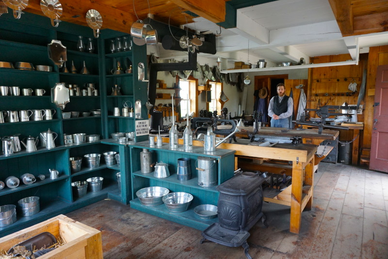
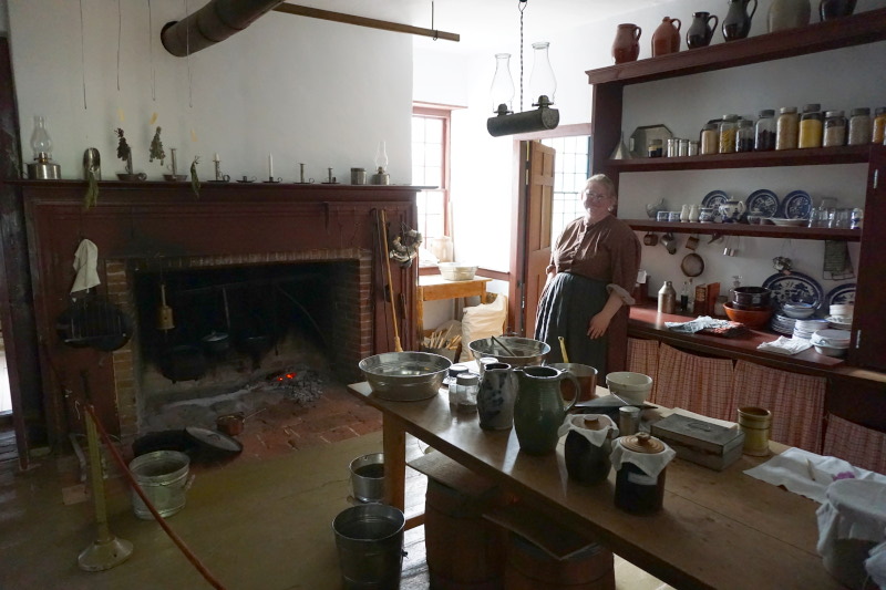
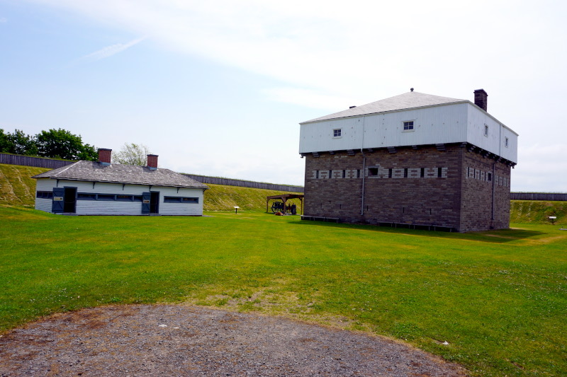
The next day we drove further upstream along the St. Lawrence River and visited a British fort from 1838 in Prescott. Many of these fortifications were built close to the shore, as the St. Lawrence River is an important economic and therefore military waterway. It connects the Great Lakes with the Atlantic Ocean and “evolves” from a river to a stream and then to a gulf.




Now we reached one of the “big goals” of every North American traveller, the Niagara Falls. And despite the countless waterfalls we have seen in the meantime, the Horseshoe Falls were particularly impressive because of their incredible size. Unbelievable dimensions of water plunge 57 metres into the depths over a (currently) 790-metre-long cliff edge.


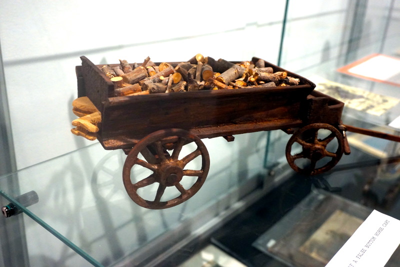
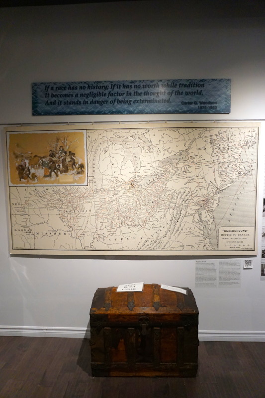
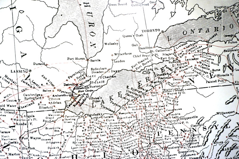
Even further south-west, we visited Malden Fort. Here, shooting with a musket was demonstrated every hour. Without a bullet, of course 😉 Afterwards, we visited a small museum to learn about the so-called “Underground Railroad”, an escape network for slaves from the USA. The name comes from the fact that typical railway terms were used to disguise it.


So, that’s enough stories and pictures for today. Stay curious, because there is still a lot to explore and tell 😉


