13/07 – 09/08/2024
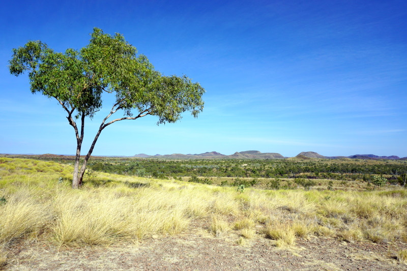
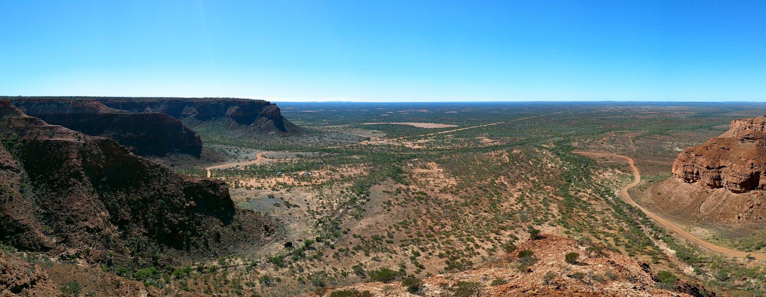
This sparsely populated wilderness covers around 81% of Australia’s land area and in many parts it is only accessible via unpaved roads. Even some national parks, such as the Kennedy Range, can only be reached on sand and gravel roads. Four shorter hiking trails conveniently started directly from the campsite and so we spent a day exploring the gorges of this mountain range. One path led us to the summit, or rather the high plateau, and offered a fantastic view over the seemingly endless vastness.


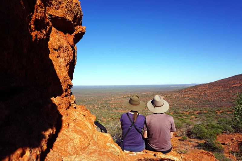
The next stop was even further “in the middle of nowhere”, to be precise, the next settlement is at least 350 kilometres away from there. This is a typical Australian station (farm in the outback), which is located directly on the grounds of Mt Augustus National Park and therefore also offers pitches & cabins, a small shop plus pub and (extremely important!) a petrol station. A true oasis in the desert. From here, we set out not only to drive around the monolith of Mount Augustus, but also to get out at several places and walk short distances to the stone carvings of the indigenous people. The first point of the day, however, was a moderately difficult route to a side peak, Edney’s Lookout, in the cooler morning.


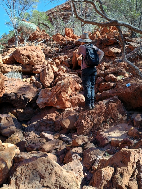
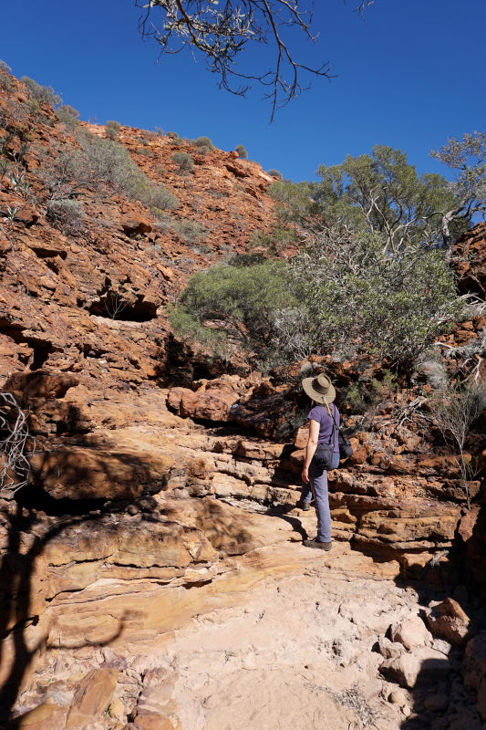
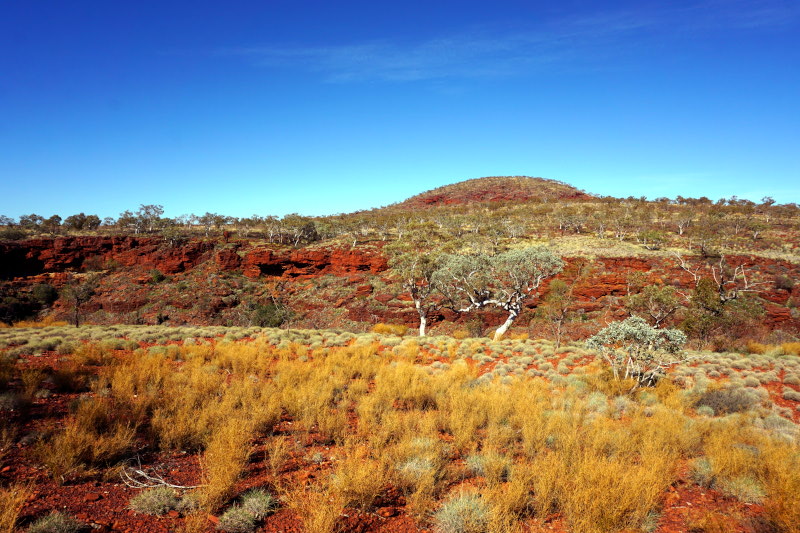
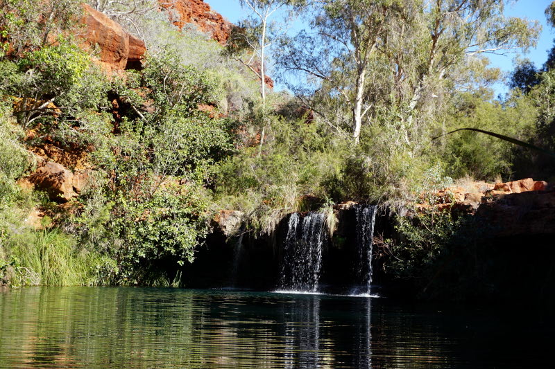
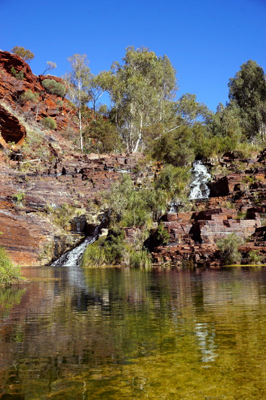
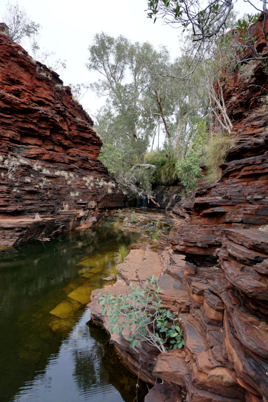
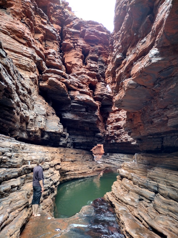
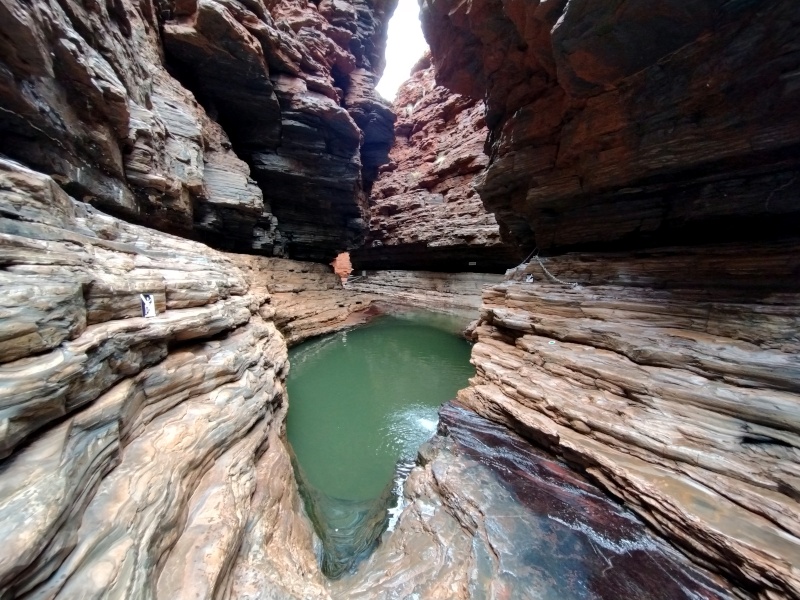
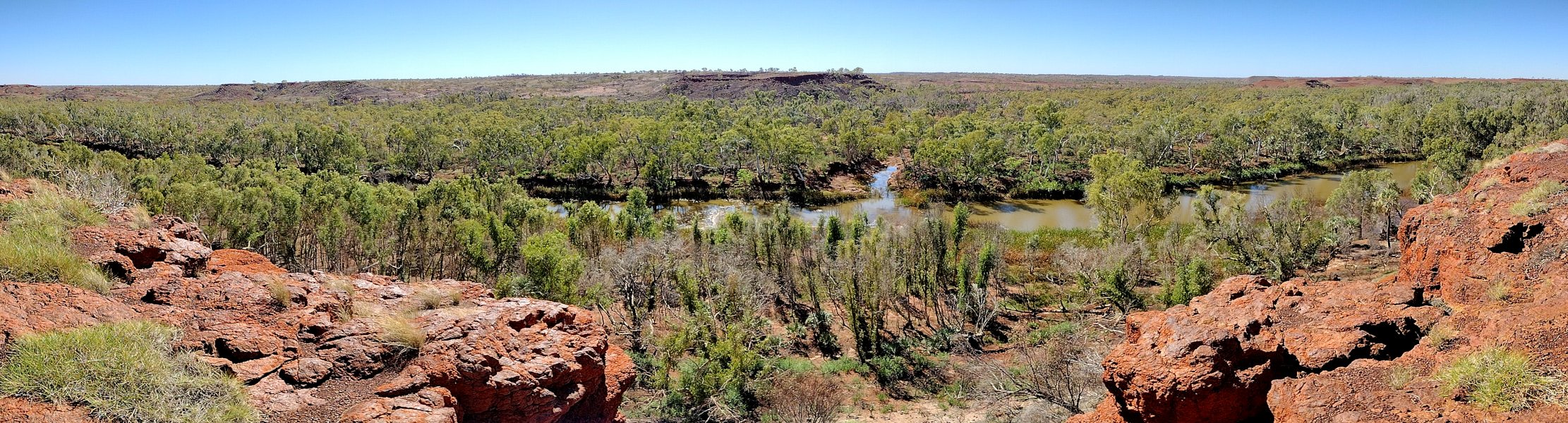
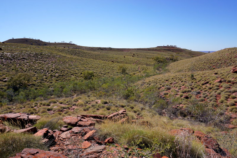
The mountain range of the Hamersley Range was now on our agenda. The Aborigines call it Karijini and the national park bears this name in recognition of its importance to them. Over a total of three days, we hiked, climbed and swam(!) through a variety of different river gorges and even spotted a dingo at lunchtime.


Still travelling in the Pilbarra region [pronounced Pilbra; the Australians shorten things a bit like us Saxons ;-)], we visited the Millstream Chichester National Park. Here we hiked to various viewpoints and were able to see the main residential building of a homestead that is over 100 years old.


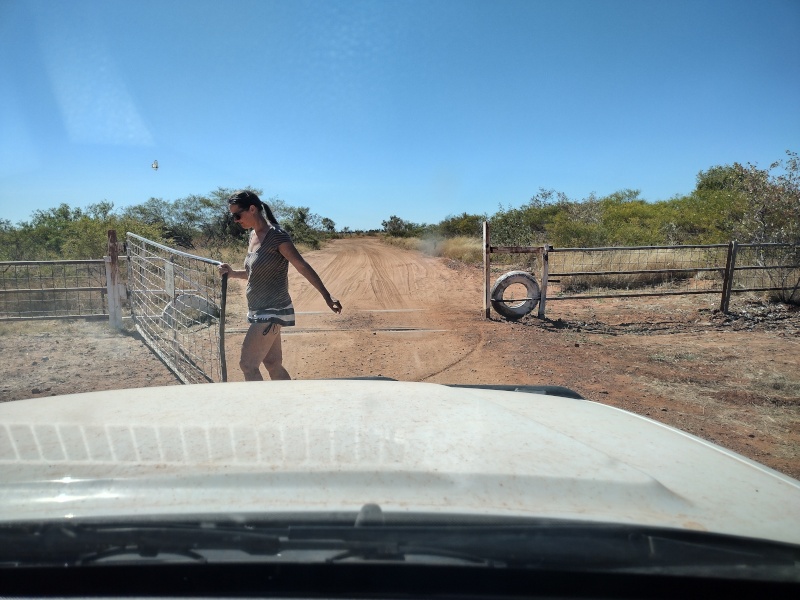
This was followed by several days in which we hardly got to see anything other than smaller towns, the overnight rest areas and the almost endless ribbon of asphalt road in between. These almost untouched and above all (seemingly) never-ending stretches of land are nothing new to us, but they still continue to impress. Our destination, the northernmost of Western Australia’s nine regions, the Kimberley. However, before we set off again for days into the remote national parks and nature reserves, we stocked up on supplies and headed back onto the gravel tracks.


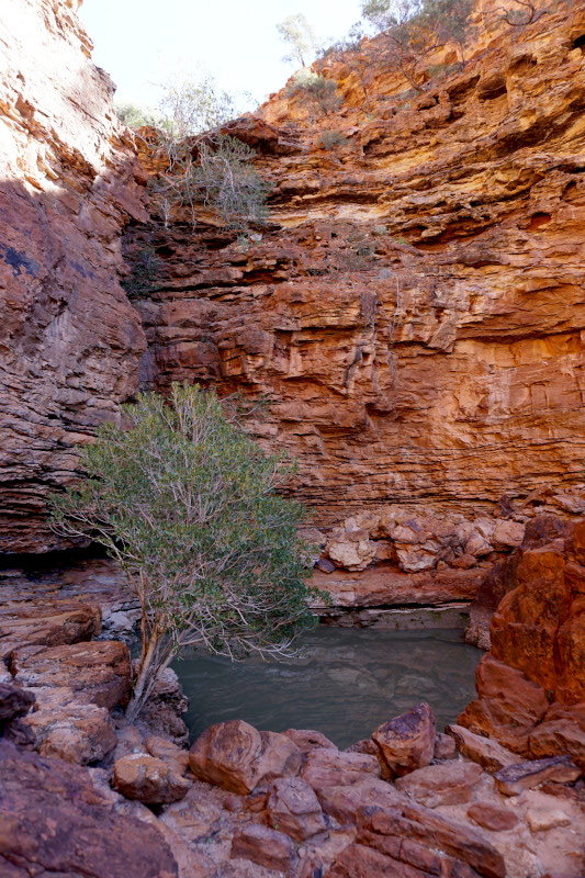
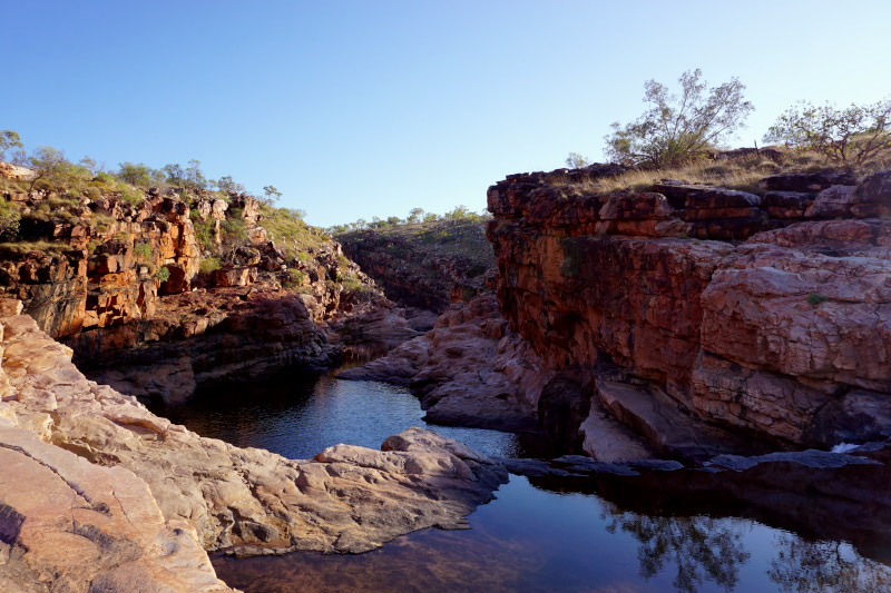
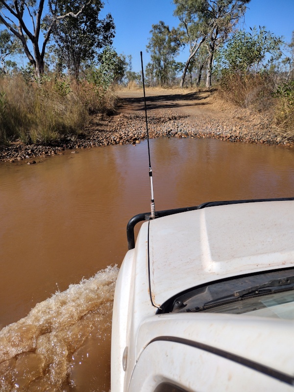
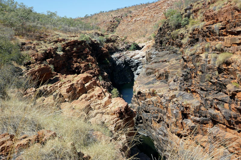
The last few kilometres of the journey to the campsite in Wunaamin Conversation Park turned out to be an extremely exciting experience. For the first time, we had to drive through rivers that were up to 50 cm deep. But even our feet would not stay dry the following day. We explored the Dalmanyi (Bell Gorge) and in order to be able to see the waterfall of the same name from below, we also had to cross the river. Most of it was quite easy thanks to the rocks, but for a short stretch (luckily it was only knee-deep at this point) we took off our hiking boots and balanced through the flowing water. We then paid a visit to Lennard Gorge in Miluwindi Conversation Park.


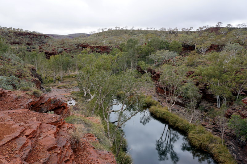
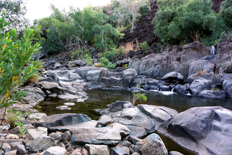
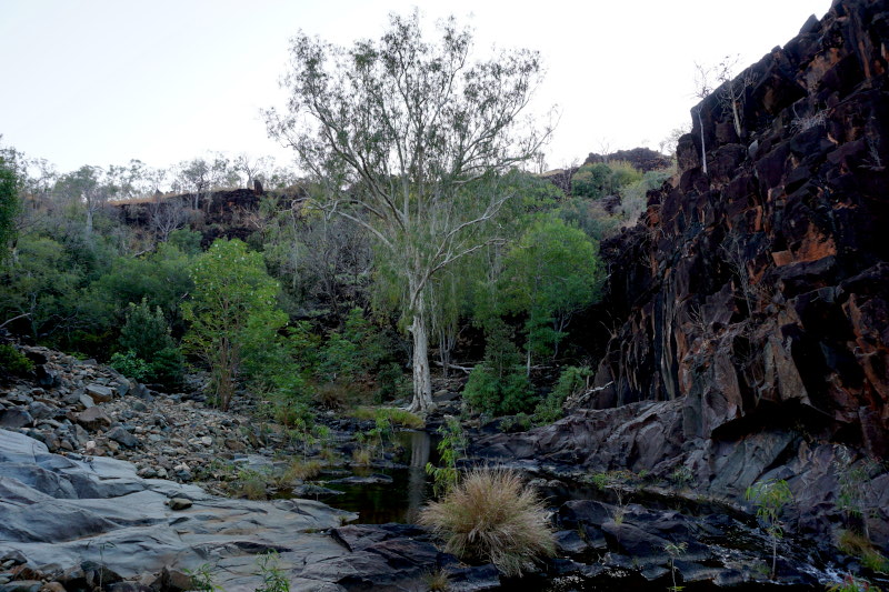
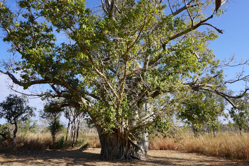
The next day began with morning walks through Matthew Gorge and along Annie’s Creek. The highlight of the latter was a symbiotic relationship between two entwined trees (boab and strangler fig).


In Bandiln͟gan (Windjana Gorge) National Park we could only walk a short distance into the gorge, but we saw freshwater crocodiles. 🙂 The gorge, which is now up to 100 metres high, is part of an uplifted coral reef that is around 375 million years old.


A rock tunnel formed by the tributary Tunnel Creek in the National Park of the same name is also located in this former reef.


Short visit to Wolfe Creek Crater National Park. Here you will find the second largest meteorite crater in the world, with a diameter of approx. 850 metres, from which fragments of the meteorite have been recovered. An estimated 300,000 years ago, this 50,000 tonne chunk of rock crashed to earth and left behind this impressive crater.

The following morning, we took a look at the striking rock formation of the China Wall near Halls Creek. This natural vein of white quartz rises up to 6 metres above the ground in some places and disappears completely into the earth many kilometres later.


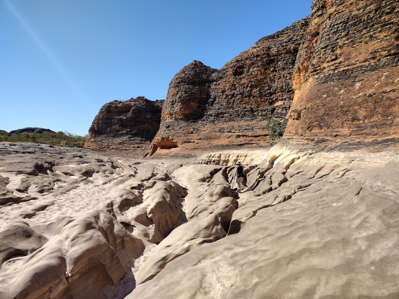
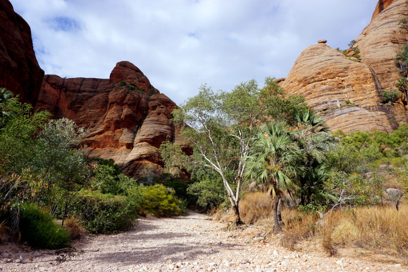
We continued on to the Purnululu National Park for a 2-day stay. A little over 50 kilometres of challenging off-road track, which can only be driven on with four-wheel drive vehicles with high ground clearance, had to be mastered first. And indeed, the journey was really tough in some places and we were really shaken up. Particularly, however, due to large boulders in the riverbed during the first water crossing.


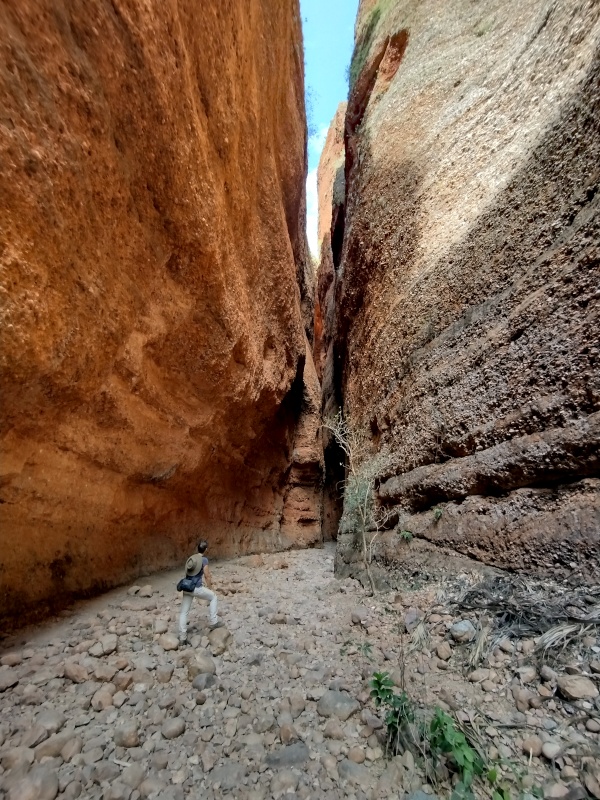
On the first day, a 12.5 km hiking trail led us through the 360 million year old, grey-orange striped sandstone domes of the Bungle Bungle Range. These are the world’s most extraordinary examples of cone karst formations and owe their colour to cyanobacteria (grey bands) and oxidising iron compounds (orange bands) on the rock surface.


We then spent the second day taking short trips to various gorges in the northern part of the park.


Before saying goodbye to Western Australia (at least for now), we visited Mirima National Park for a short but enjoyable hike.


So now we have to continue planning and see what’s waiting for us next. So see you soon.