
23/11 – 27/11/2022
After two days of “resting” at the campsite in Ingham (with salt water pool), we set off into the outback.


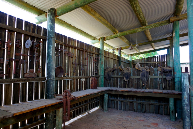
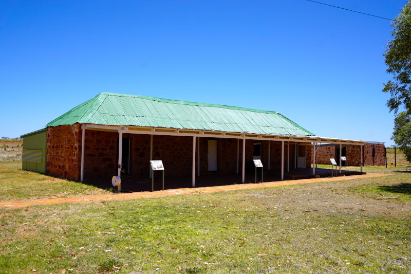
In Richmond we visited the original replica of a homestead from the late 1860s, including a small collection of historic carriages and tools of the time.


110 million years ago, a huge lake covered the region near Richmond. Not surprisingly, dinosaur fossils are still being discovered here today. Among them is the Kronosaurus queenslandicus, an 11 m long and carnivorous marine reptile. Nearby, an almost completely preserved skeleton including skin & armour of a Minmi paravertebra was also discovered in 1990. This is a special representative of the class of ankylosaurs (four-legged herbivores) and the first find of this dinosaur species in the southern hemisphere.


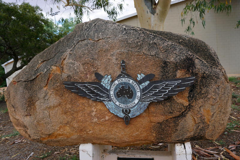
The next town we visited was Cloncurry. It played a major role in the founding history of the successful Australian airline Qantas (acronym for “Queensland and Northern Territory Aerial Service”). The hangar and runway are still in use today. In 1922, the first scheduled mail & passenger flight of the company, founded two years earlier, also landed here. In 1928, also in Cloncurry, the Royal Flying Doctor Service was founded. To this day, an important “institution” for the medical care of the Outback’s residents.


27/11 – 09/12/2022
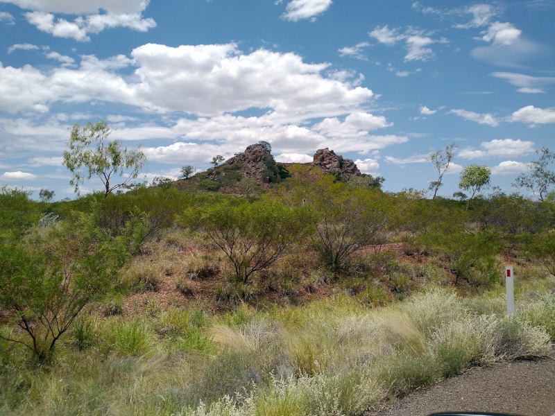
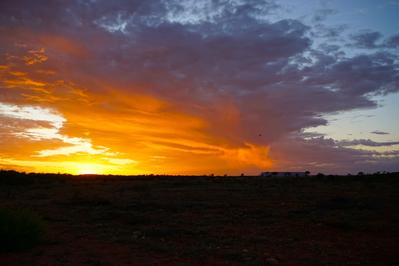
During Sunday we crossed the next federal border. The Northern Territory “greeted” us with sparse vegetation typical of the savannah. Only a few trees could be seen here and there, and the reddish earth shimmered through it all. Compared to the Norwegian Fjells, the vastness here is truly limitless to the eye.


On our way to Katherine we were able to help a young Australian. His car had broken down and he needed a lift to the next garage. In the middle of the outback you have neither reception, unless you have a satellite phone, nor can you just walk anywhere (especially not at this time of year). So we completely dismantled our bed, cleared a space on the back seat and took him the 62 kilometres to the next village.
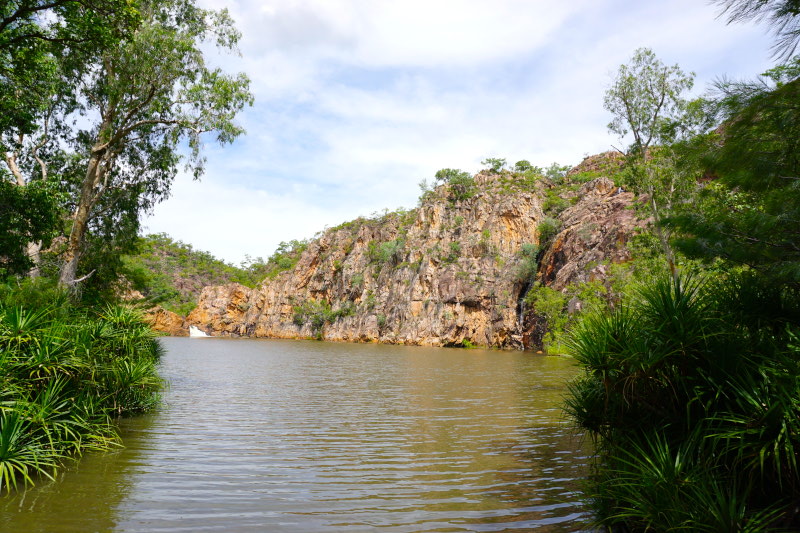
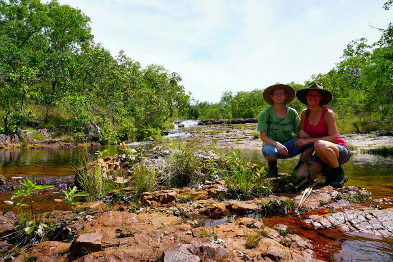
In Nitmiluk National Park we could finally lace up our hiking boots again. 5 days and 2300 kilometres on the outback highways lay behind us.


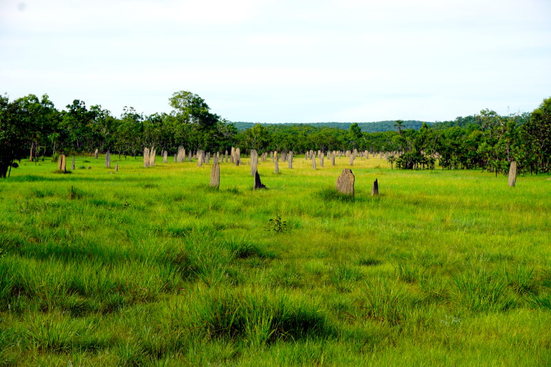
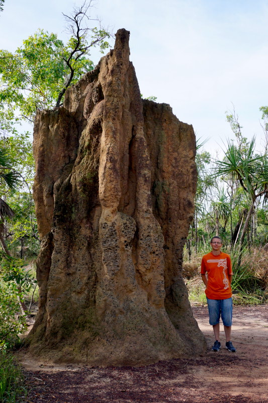
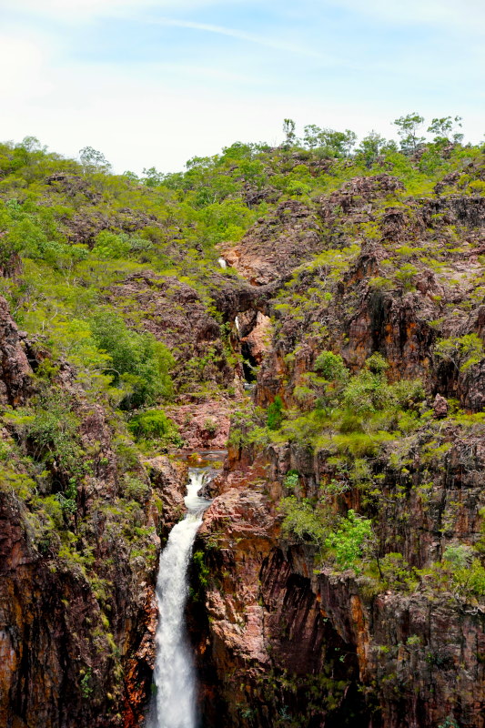
We continued to Litchfield National Park. Here we first look at the imposing mounds of two species of the termites, which are only 5 mm in size. The endemic Magnetic Termites align their narrow, wedge-shaped mounds along the lines of the earth’s magnetic field. This contrasts with the voluminous and up to 8 metre high mounds of the Cathedral Termites. Afterwards we hiked along “The Cascades” and enjoyed the view of the waterfalls Wangi Falls, Tolmer Falls and Florence Falls.


There were again many kilometres & days ahead of us until we reached the next biggest destination. Fortunately, these were interrupted by some smaller sights.


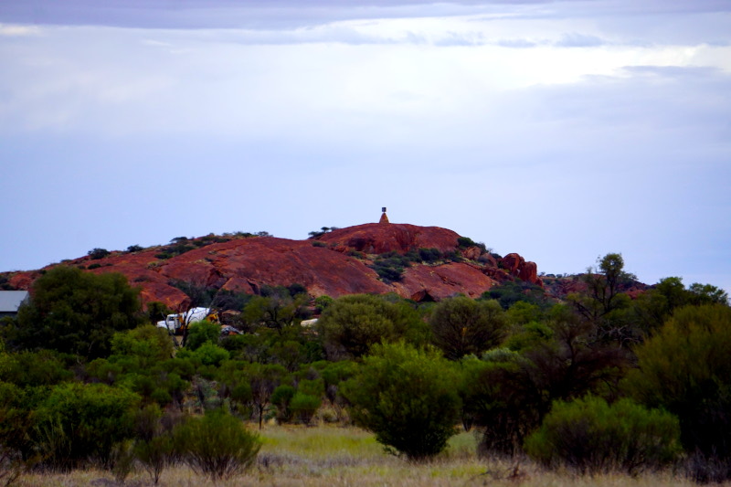
Sir Charles Todd Memorial – One mile (1600 metres) west of the memorial column, the “construction crews” of the telegraph line met in August 1872 and thus completed the connection between Adelaide and Darwin. Responsible for the planning and construction of the “Overland Telegraph Line” (the telegraph line across Central Australia) was Charles Todd, who was able to realise the project within two years. For this, 36,000 masts were installed over a length of 3178 km. An undersea cable already ran from Darwin to the island of Java.


Tennant Creek Telegraph Station – One of 12 repeater stations that received, repeated and forwarded messages. Transmission was done using Morse code and completely manually 24 hours a day. A message from Adelaide to England took only 7 hours instead of several months (by ship). In October 1872, two months after the completion of the line, the first message was transmitted.


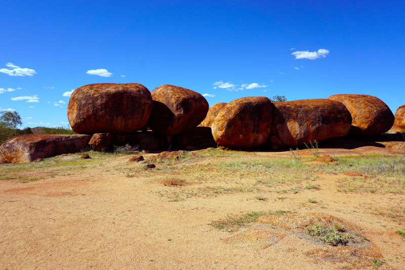
Karlu Karlu (Devils Marbles) – In the middle of the outback you come across the eggs of the rainbow snake (scientifically speaking, they are eroded granite boulders). The stones and the surrounding area are still an important cultural site for the Aborigines, because in their world view this snake is the creator of all life.


Barrow Creek Telegraph Station – The special aspect of this station is that the police station of the region was opened here at the same time one year after it was put into operation. The reason was attacks by indigenous tribes.

Central Mount Stuart – The centre of Australia designated by John McDouall Stuart as the “geographical centre of the continent”.


Highest point of the Stuart Highway – Yes, the “Aussies” ( slang for: Australians) also mark something like this. Mostly in the form of rest areas at precisely these points. With distances of often 400 kilometres and more between the small towns in the outback, the rest stop should also “offer” something interesting 😉 The Stuart Highway connects Darwin (Northern Territory) with Port Augusta (South Australia) and was named in honour of the Scotsman John McDouall Stuart, the first man to successfully cross Australia from south to north. The course of the telegraph line was also planned using information from his records.


Alice Springs Telegraph Station – In addition to the telegraph staff, craftsmen for the maintenance of the line and a blacksmith also lived in the stations. With a small livestock and vegetable garden, this “community” was largely self-sufficient. Because only every 6 months did a “supply convoy” arrive in this remote wilderness.

Finally arrived in the middle of the continent, we set up our “base camp” for the next three days of hiking.

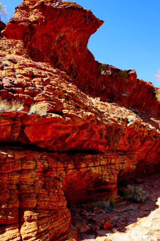
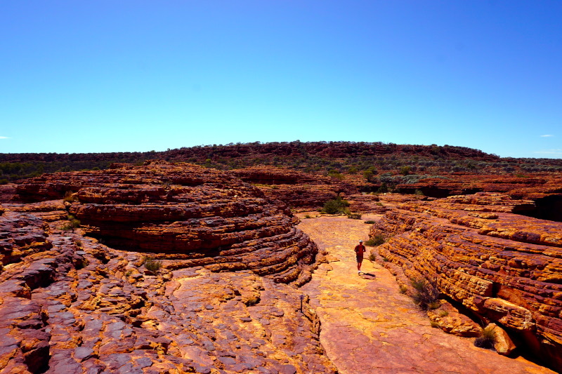
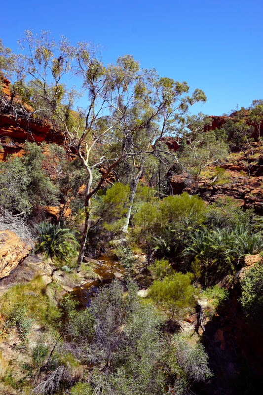
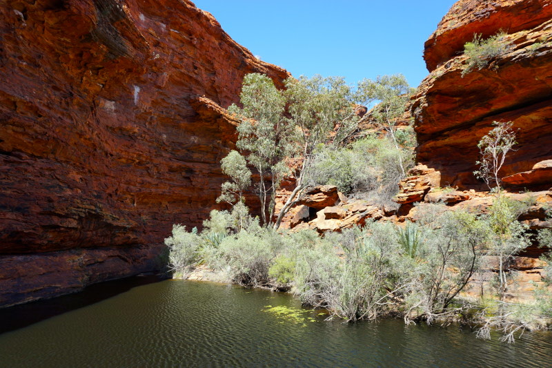
First we drove to Kings Canyon National Park. It meant starting early enough, as the gates of two hiking trails (there are only three) are actually locked during the morning if more than 36°C were forecast. We were hiking on “St. Nicholas Day” and it was even supposed to be 42 degrees. Luckily, we met the ranger in time (around 9 a.m.) and were thus allowed to start the 6 km long loop, which always leads along the rim of the gorge.


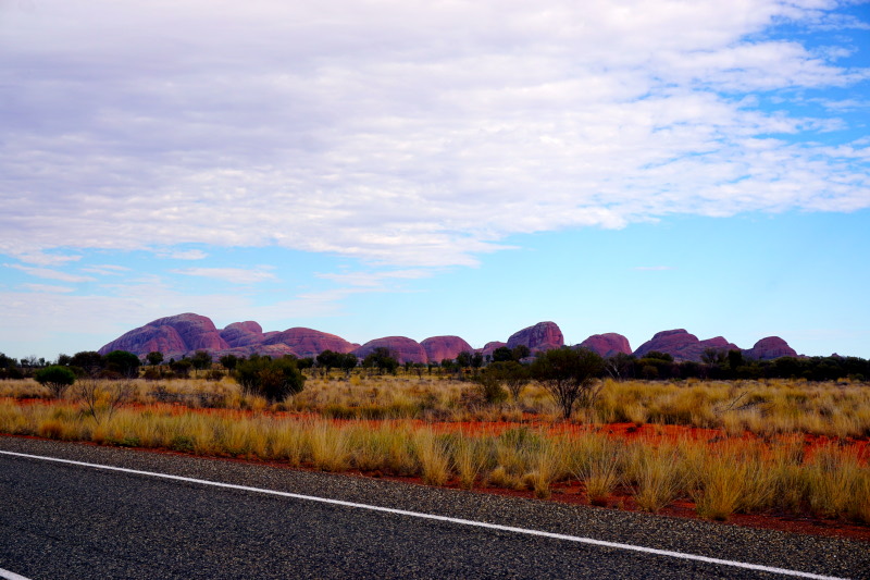
The next day, the Kata Tjuta (The Olgas) were the destination. Thanks to a shorter journey, we managed to leave before the route closed (11 am) without any problems. However, photos during the hike were undesirable, as the area is sacred to the Aboriginal Anangu tribe. Out of respect for their culture, one should only take photos at a greater distance and near the car park.


At the end of our detour to the hot, red centre of this country, we visited the world-famous Uluru (Ayers Rock). Participating in a guided tour along the foot was to be one of the most interesting experiences of the trip so far. Guided by a park ranger who is a member of the Anangu tribe, we learned first-hand what is so sacred to the indigenous people at this sandstone mountain. We also learned a lot about the traditional life at & around Uluru, as well as about its origin. The fact that this mountain, of which 348 metres can be seen, still reaches down to a depth of 4 – 6 kilometres was probably the most surprising information.


10/12 – 11/12/2022
On our way further south, we spent the night directly on the border of Northern Territory & South Australia. A few kilometres away is the geodetic datum of Australia. This is the central reference point for all surveys. Unfortunately, our attempt to view it from close up failed. But shortly afterwards a red kangaroo showed up. 🙂


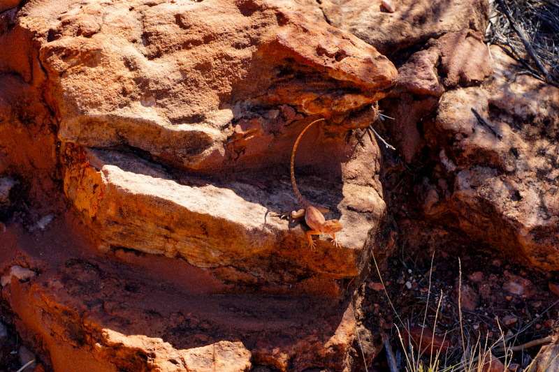
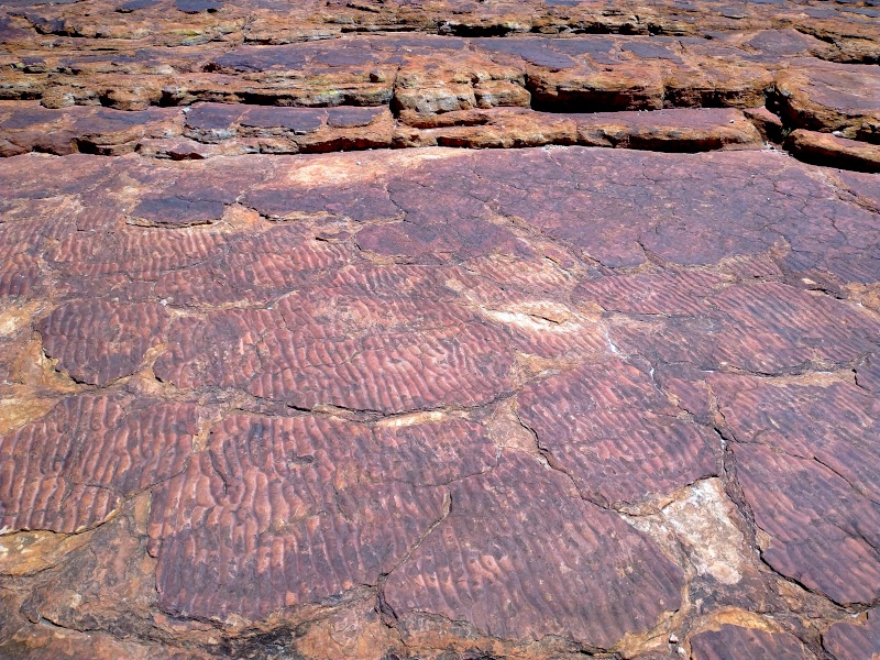
At the end, once again something from the category ” Interesting facts”. Responsible for the typical red soil in large parts of Australia is the oxidation of the iron components on the surface of the rocks and sands.
Summer greetings from Port Augusta and see you soon.