
21/02 – 07/03/2023
From Wellington we took the ferry to Picton. And although we’ve been on many ferries in the meantime, this one took us by surprise. When we were allowed onto the ship, we had to do it backwards. The reason for this unusual procedure was that “our” deck was normally a cargo area for freight wagons. On this day, however, half of it was used for passenger vehicles and so there was no space to turn around.
We made our first excursion on “new territory” from Anakiwa. The Queen Charlotte Track starts here, which we followed for 6.5 km to a viewpoint before heading back to the car park.


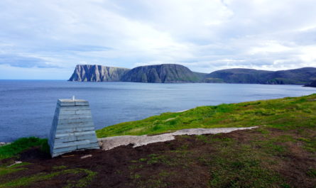
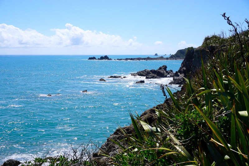
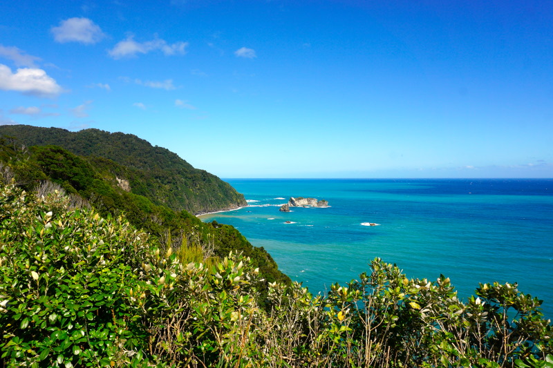
The north coast continued to fascinate us and so we spent the next two days here.


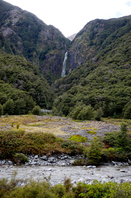
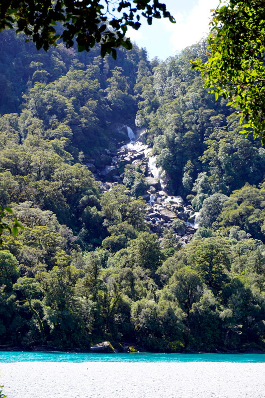
On the way to the west coast, we had a relatively long way to go, because the Kahurangi National Park can only be bypassed inland. So of course we took the only highlight on this route, the Maruia Falls. An earthquake in 1929 raised part of this area by 10 metres, creating this waterfall.


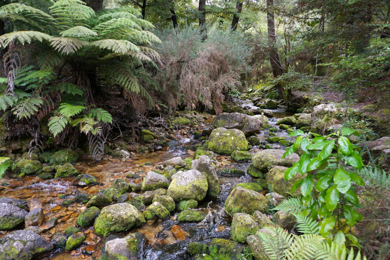
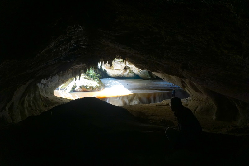
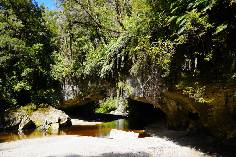
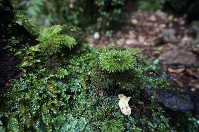
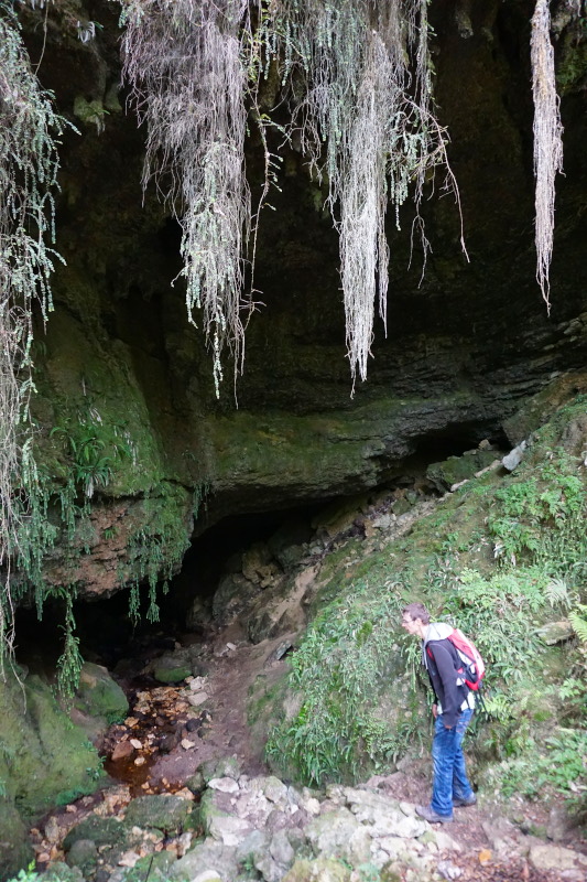
The next day we admired the nature of the Kahurangi National Park on several hikes. To crown it all, we climbed through the Tunnel Cave. As the name suggests, you can actually pass through it without any major problems. It’s really adventurous to walk through an 80-metre-long, pitch-black cave with only a torch. In between, you can see neither the entrance nor the exit. It makes you feel a bit queasy.


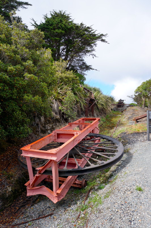
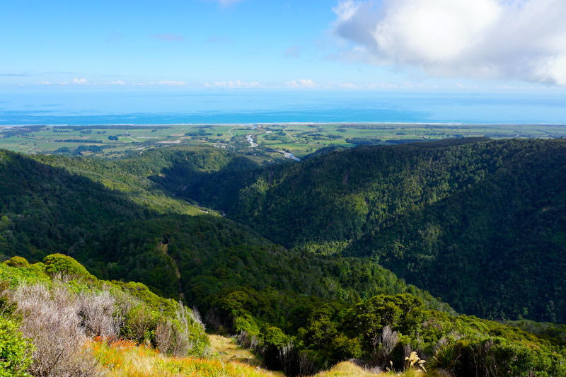
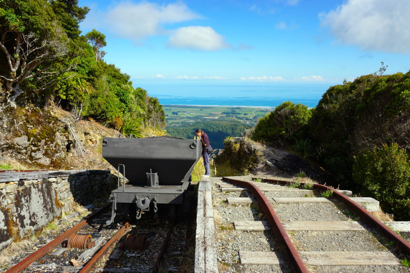
The following day, in the Denniston Coalmining Historic Area, we learned about the history of coal mining in this region. What was special here was how the coal was transported away. The full wagons rolled down the mountain on rails and pulled empty wagons back up again thanks to an ingenious rope system. Over a distance of about 1.6 km, a difference in altitude of 518 m was overcome.


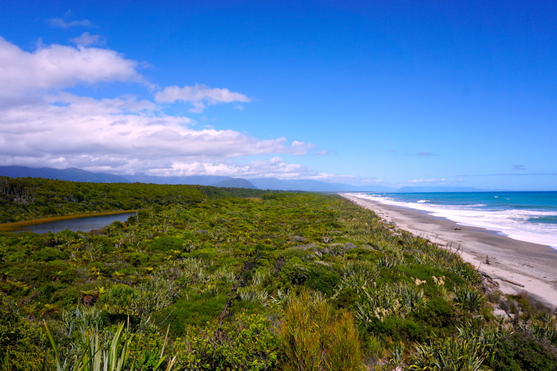
The way ahead took us south along the coast for the next few days.
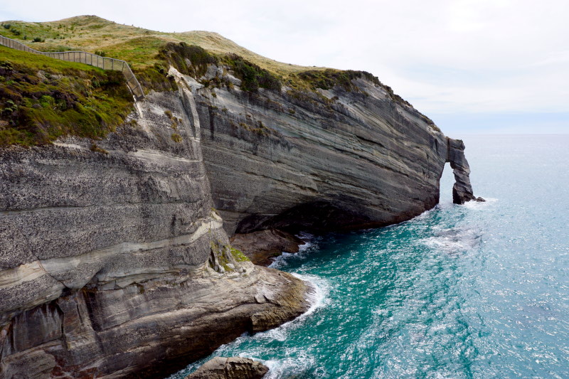
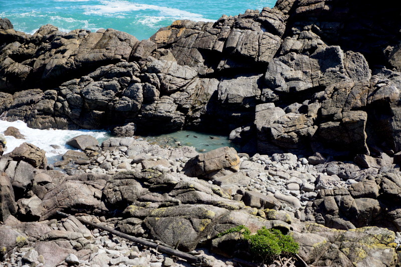
In Punakaiti, we visited the Pancake Rocks and then hiked through subtropical forest in the adjacent Paparoa National Park for about 2 hours.


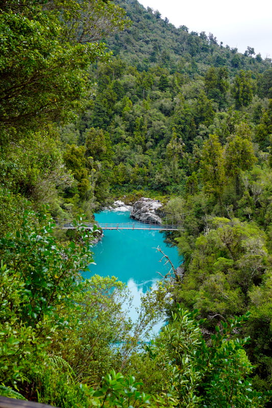
A short walk through the Hokitika Gorge followed. The Hokitika River in this gorge is a brilliant light blue. Quite typical for a river that is fed by glacial water.


This was the end of the road on the west coast and the road led us across the mountains bit by bit to the south side of the island.


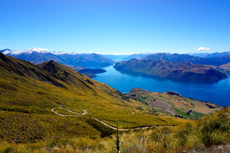
With the strenuous climb to Roy’s Peak Lookout, we set a new altitude record, which we achieved under our own steam. Expressed in “bare” numbers, this means:
Altitude of the finish: 1300 m above sea level.
Distance: 10 km (one way)
Metres of altitude climbed: 1020
Time (to finish): approx. 3.5 hours incl. lunch break at approx. 1050 m altitude
Reward: breathtaking view of Lake Wānaka and the Southern Alps


Afterwards we took some time to regenerate. But of course we didn’t stay completely inactive, because you have just seen the result of these two days 😉


With this, we want to say goodbye to you today and hope that you will be “with us” again for the (probably) last report from New Zealand.